
Visualizes global connectivity by air, ferry, and rail from any origin.

Product memo
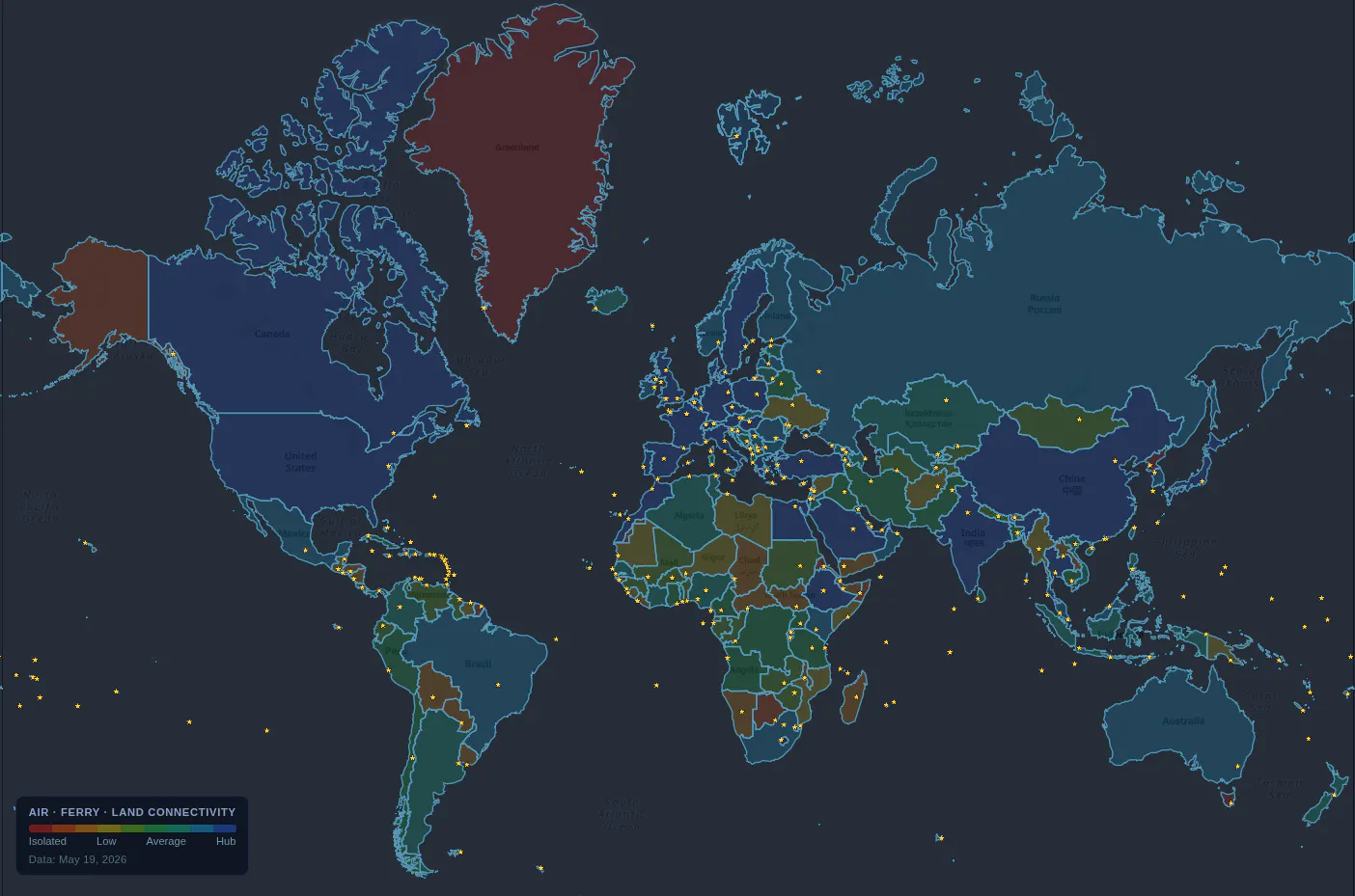
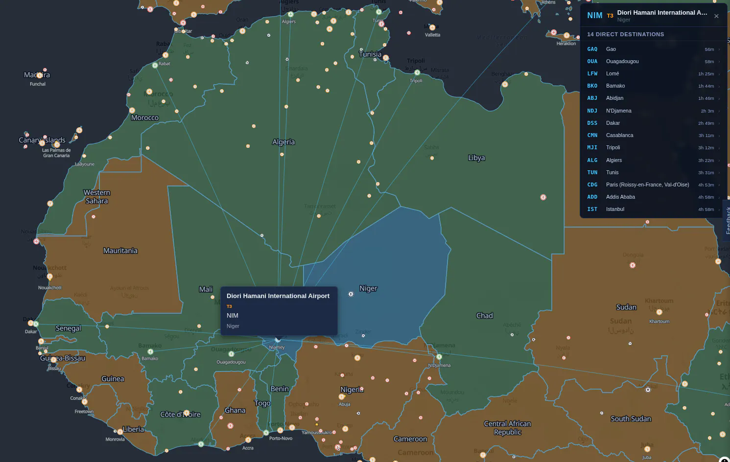
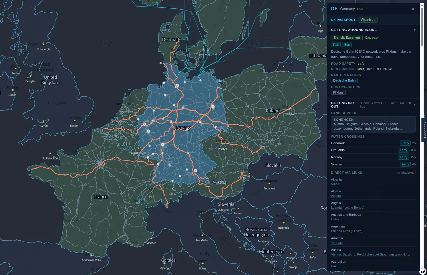
Portolan maps global connectivity by air, ferry, and rail, showing how reachable any territory is from a chosen origin. It uses a color-coded map to represent travel hops, offering a unique perspective on global accessibility. Travelers and researchers use it to visualize network reach and understand how open a territory is to the rest of the world.
For who
Travelers and researchers
Solves what
Visualizes global connectivity via air, ferry, and rail.
- World connectivity map
- Travel hop visualization
- Origin-based color coding
In their own words
Portolan
How open is a territory to the rest of the world?
Operator context
Operating setup
Team
Indie / lean
LLM classification
Founded
May 2026
Platform
Web app
Audience
General
Social footprint
Tech stack
Builder Strategy
- Strategy Type
- Niche Specialist
- Stage
- Pre Revenue
- Effort
- Solo Buildable
About Portolanmap Expand
Portolan offers a unique way to visualize global connectivity, mapping how accessible any territory is by air, ferry, and rail. Designed for travelers and researchers, it helps users understand the intricate web of global transportation networks.
The tool's core value lies in its origin-based reachability coloring, which provides an immediate visual answer to how open a territory is to the rest of the world. By focusing on this specific data visualization problem and making it freely available, Portolan serves as a public resource for understanding global movement patterns.