
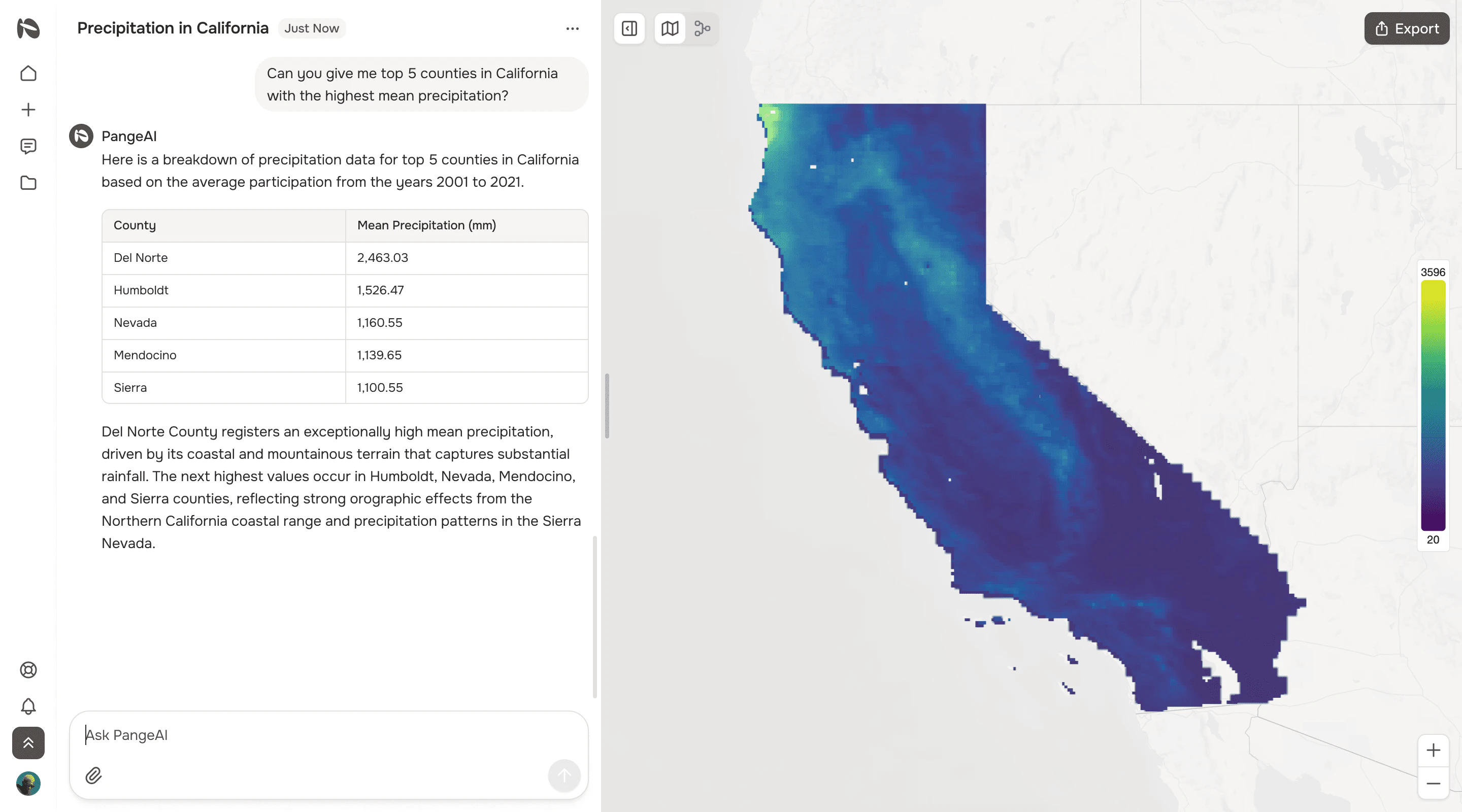
AI agents perform complex geospatial analysis from natural language queries.

Product memo
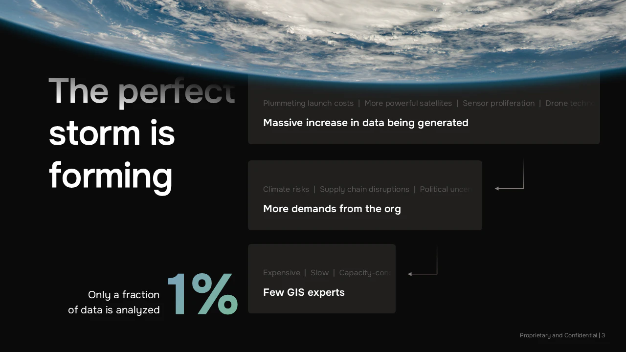
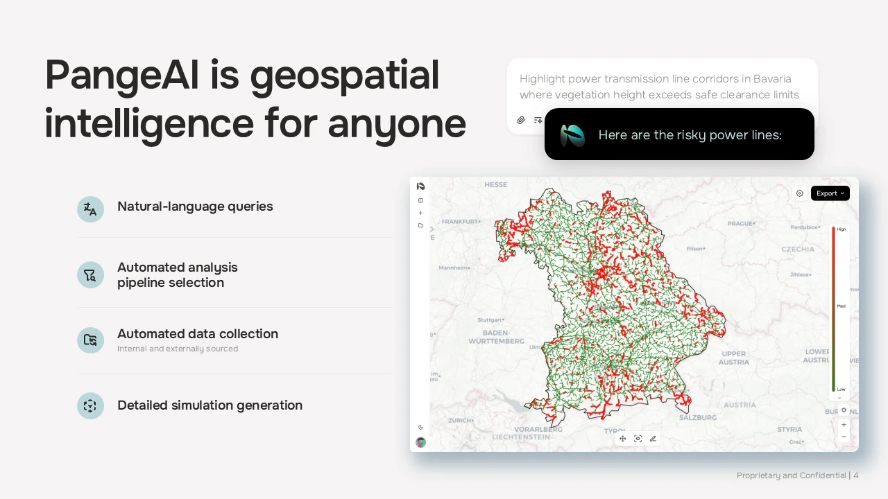
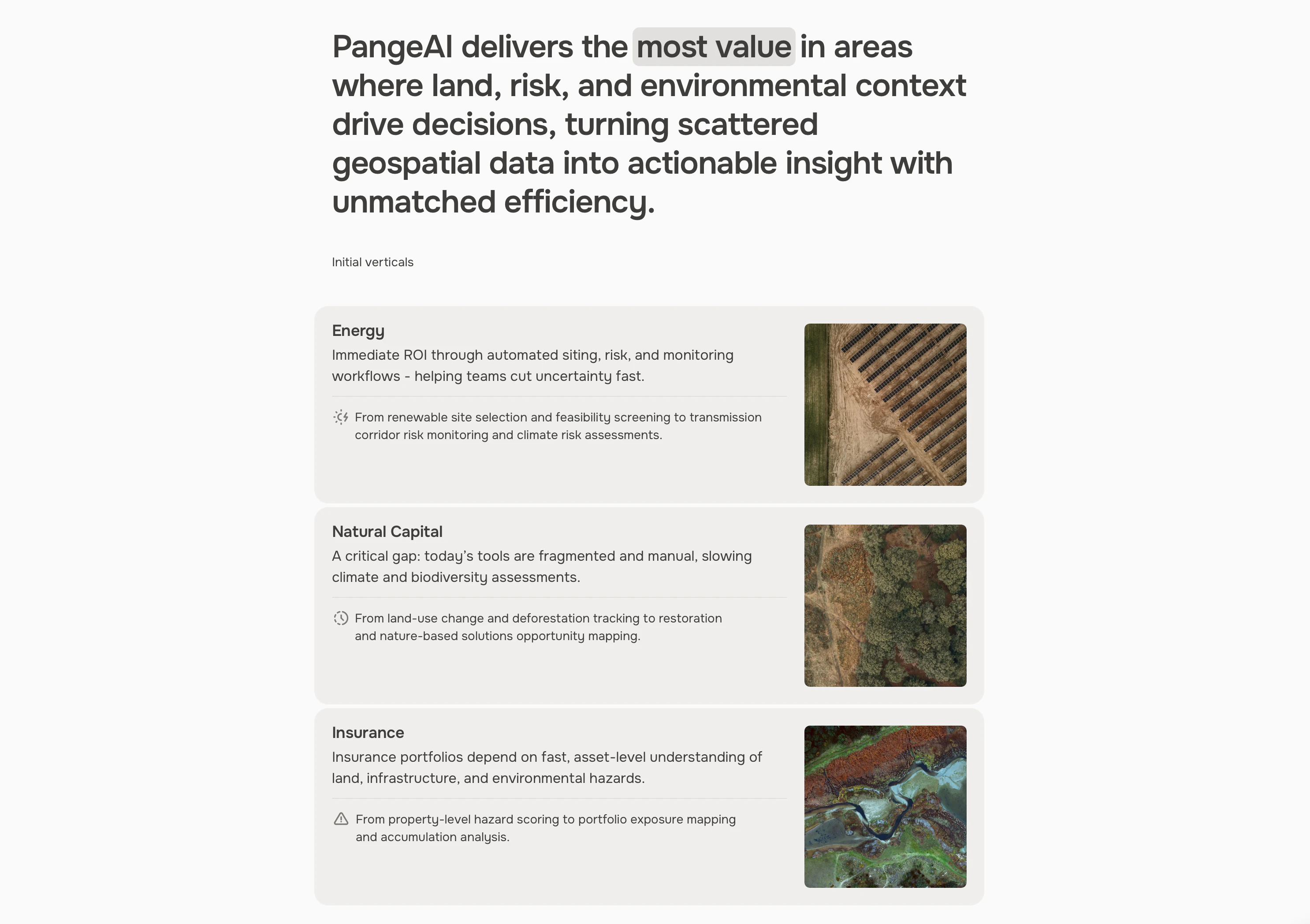
PangeAI offers geospatial intelligence for companies needing spatial analysis without dedicated GIS teams. It transforms natural language queries into complex geospatial outputs, eliminating the need for specialized expertise. This approach delivers critical land, risk, and environmental insights within minutes, making advanced spatial analysis accessible to a broader market.
For who
Companies needing spatial analysis without GIS teams
Solves what
Complex geospatial analysis and decision-making using AI agents and natural language.
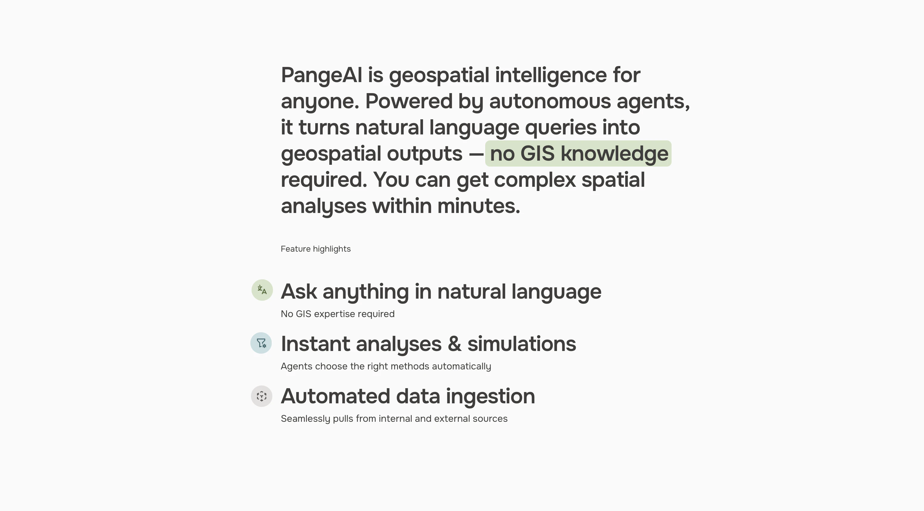
- Agent-driven spatial analysis
- Natural language queries
- Automated data ingestion
In their own words
Earth Data.
Curated.
Instant, agent-driven spatial analysis and decision-making. No GIS knowledge required.
Operator context
Operating setup
Founded
Apr 2026
Platform
Web app
Audience
General
Tech stack
Market demand
PangeAI keyword demand
3 keywords
Market demand is Starter-tier market intelligence.
Derived from this product’s latest SimilarWeb keyword mix — directional demand, not proof.
Builder Strategy
- Strategy Type
- Niche Specialist
- Stage
- Pre Revenue
- Effort
- Small Team
About PangeAI Expand
PangeAI delivers complex geospatial analysis and decision-making by leveraging AI agents and natural language processing. It targets companies that require deep spatial insights but lack the internal GIS teams or expertise to perform them manually.
By automating data ingestion and offering instant analyses and simulations, PangeAI removes significant friction. This allows businesses to access critical geospatial intelligence, from land use to environmental risk assessments, directly through simple queries, democratizing a previously specialized field.