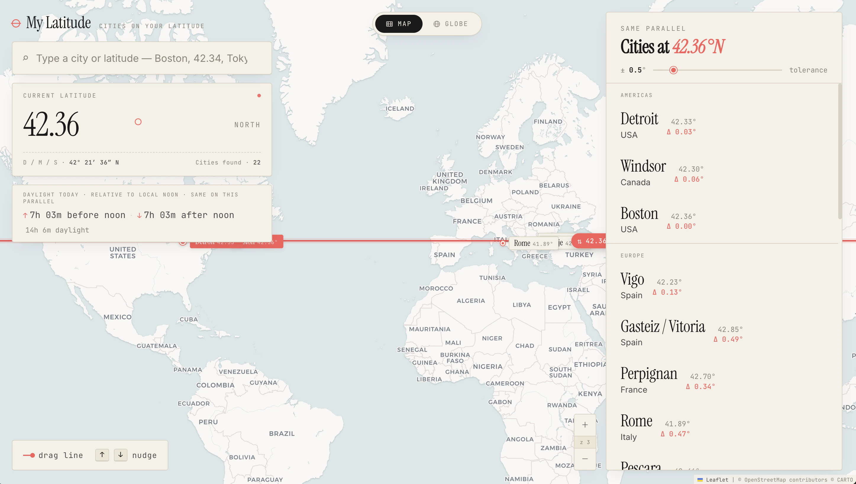
Finds all major cities sharing a chosen latitude line.
Product memo
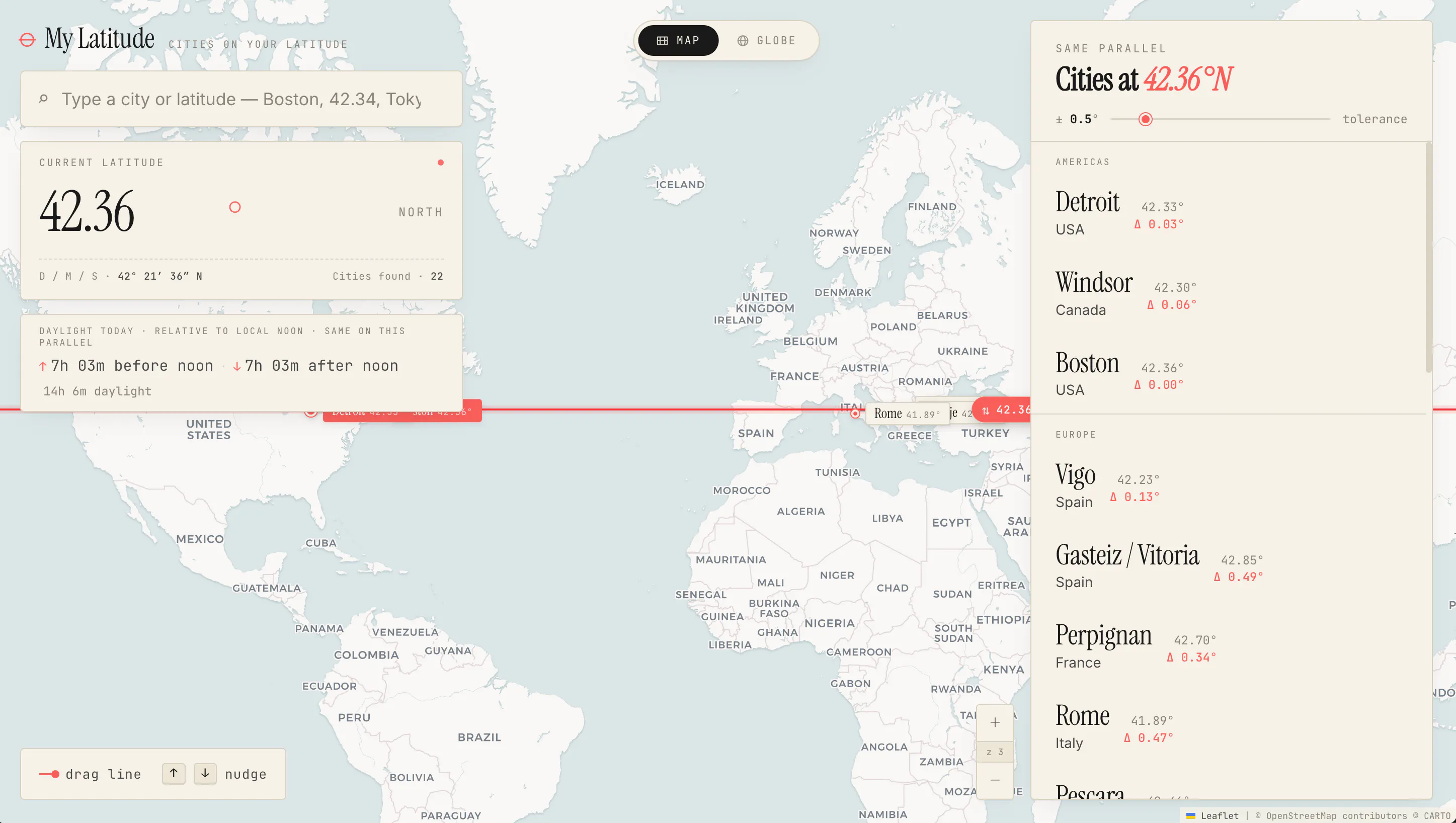
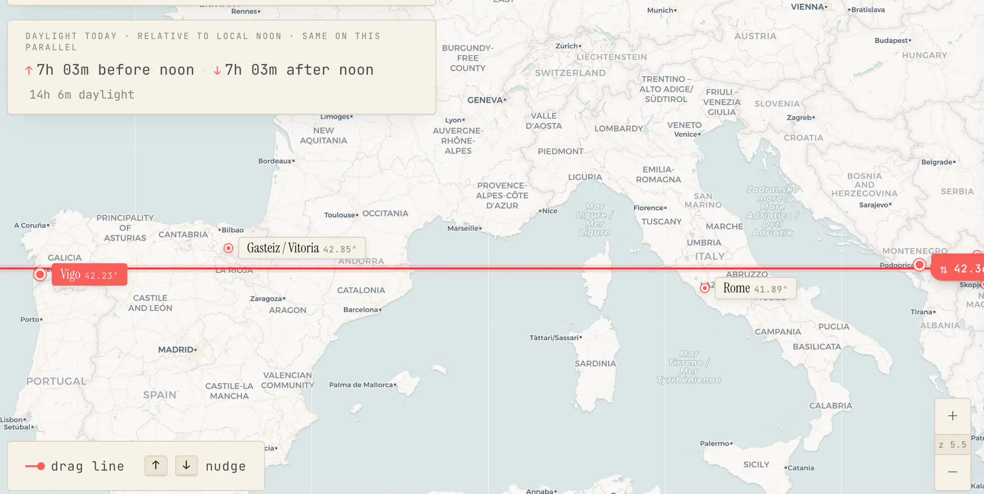
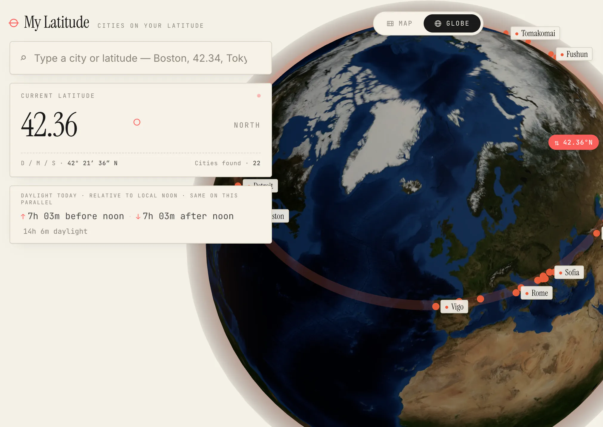
My Latitude offers a unique geographical discovery tool for travelers and enthusiasts. Users input a city or draw a latitude line on a globe view, instantly identifying all major cities sharing that same parallel. This provides a novel way to explore global connections and understand geographical relationships between seemingly disparate locations.
For who
Travelers and geography enthusiasts
Solves what
Finds all major cities located on the same latitude as a chosen city.
- Latitude line visualization
- City discovery
- Daylight comparison
In their own words
My Latitude cities on your latitude
Operator context
Operating setup
Team
Indie / lean
LLM classification
Founded
May 2026
Platform
Web app
Audience
General
Builder Strategy
- Strategy Type
- Niche Specialist
- Stage
- Pre Revenue
- Effort
- Solo Buildable
About My Latitude — Cities on Your Parallel Expand
My Latitude provides a focused map tool for geographical discovery, allowing users to find all major cities on the same latitude as any selected point. It serves travelers and geography enthusiasts who want to visualize global connections and understand how cities align across the world.
The tool's free, single-tier access removes any friction to exploration, making it easy for anyone to use its latitude line visualization and globe view features. This clear, niche-specific offering positions My Latitude as a straightforward resource for unique geographical insights.