Geospatial intelligence platform for developers and analysts needing location data.
Product memo
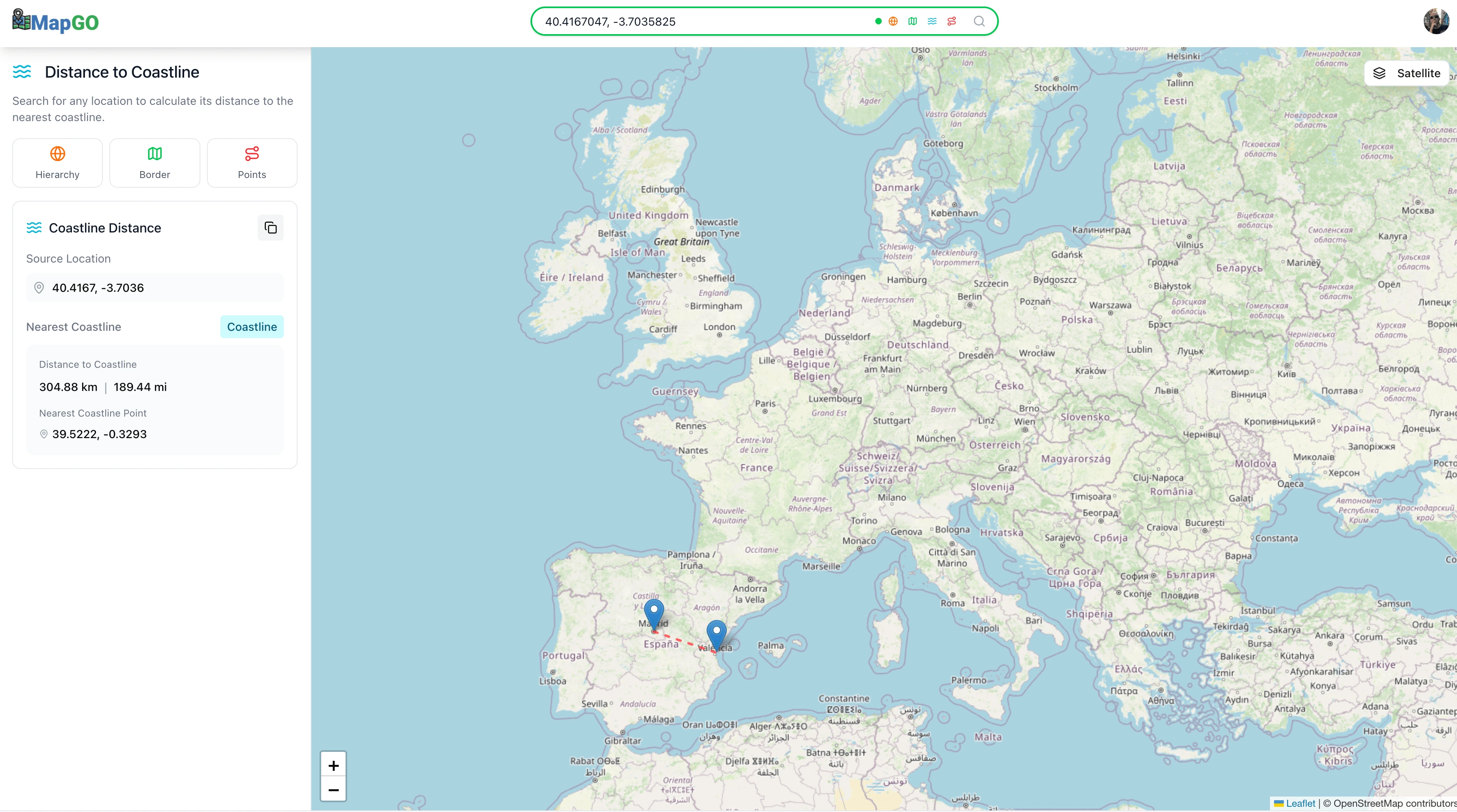
MapGO provides granular geospatial intelligence for developers and analysts. It calculates precise distances to borders and coastlines and reveals administrative hierarchies for any coordinate. This focus on detailed location analytics serves users who need specific data points for property, risk, or logistical analysis, offering a deeper layer of insight than general mapping tools.
For who
Developers, analysts, and teams needing location data
Solves what
Provides geospatial intelligence like distance calculations and administrative hierarchies for any coordinate.
- Location hierarchy breakdown
- Distance to border/coastline
- Point-to-point distance calculation
In their own words
Geospatial Intelligence in Seconds
Distance to borders, coastlines, and administrative hierarchies for any coordinate on Earth. Built for developers, analysts, and teams.
Commercial cues
Model
subscription
Free tier
Yes
Trial
Available
Pricing Strategy
- • A free tier attracts new users, letting them test core geospatial capabilities.
- • Tiered plans with row limits guide users to upgrade as their data.
Operator context
Operating setup
Founded
Dec 2024
HQ
Ireland
Platform
Web app
Audience
Developers
Payments
Stripe
Detected via TrustMRR
Social footprint
Builder Strategy
- Strategy Type
- Niche Specialist
- Stage
- Pre Revenue
- Effort
- Solo Buildable
About Mapgo Expand
MapGO offers a specialized geospatial intelligence platform designed for developers, analysts, and teams working with location data. It provides granular insights like precise distances to borders and coastlines, alongside detailed administrative hierarchies for any given coordinate.
This focus on specific, often hard-to-find data points helps users conduct in-depth property analysis, assess risk, or optimize logistics. By narrowing its scope to these critical geospatial calculations, MapGO serves as a go-to resource for those needing more than basic mapping functionalities.