
Free online tool for instant geospatial file conversion and visualization.
Product memo
Maparz provides GIS professionals, developers, and analysts with a free, browser-based way to convert and visualize geospatial data. It uses the GDAL engine for server-side processing, delivering instant results without requiring software installation or account creation. This removes the need for complex desktop GIS setups for common conversion tasks, making it ideal for quick, one-off data transformations up to 50 MB.
For who
GIS professionals, developers, and analysts
Solves what
Geospatial data conversion and visualization without desktop GIS
- Browser-based conversion
- Supports 10+ formats
- Instant map preview
In their own words
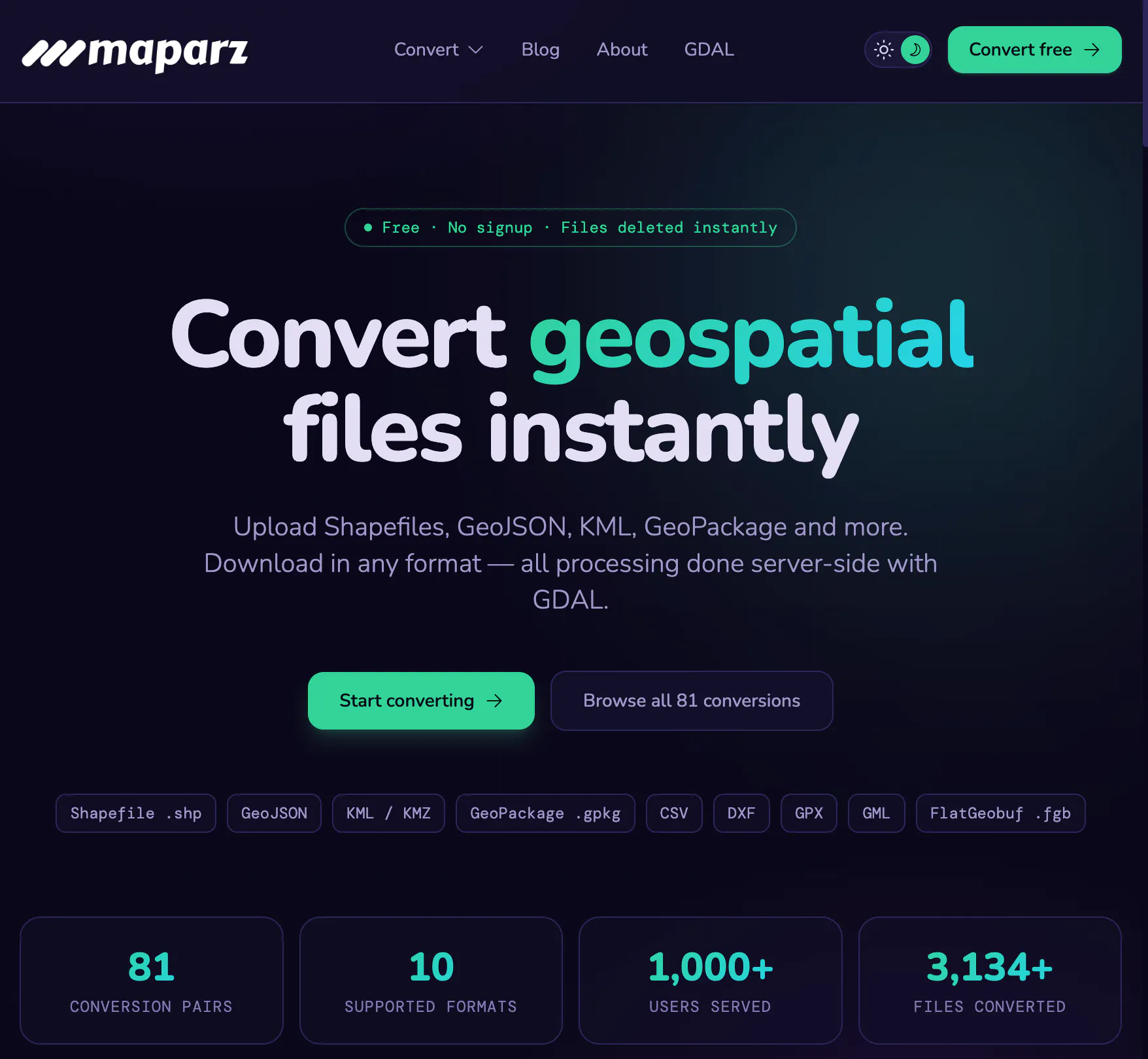
Convert geospatial
Upload Shapefiles, GeoJSON, KML, GeoPackage and more. Download in any format — all processing done server-side with GDAL.
Convert geospatial files instantly in your browser — no signup, no install, no fuss.
Commercial cues
Model
free only
Free tier
Yes
Trial
No
Pricing Strategy
Maparz offers a free tier; paid plan details are not publicly priced.
- • The 50 MB file limit focuses the tool on everyday, smaller conversion.
- • No account required builds trust by ensuring privacy and data deletion.
- • Free tier lowers testing friction.
Operator context
Operating setup
Founded
May 2026
Platform
Web app
Audience
Developers
Market demand
Maparz Online Geospatial File Converter keyword demand
5 keywords
Market demand is Starter-tier market intelligence.
Derived from this product’s latest SimilarWeb keyword mix — directional demand, not proof.
Builder Strategy
- Strategy Type
- Niche Specialist
- Stage
- Pre Revenue
- Effort
- Solo Buildable
About Maparz Online Geospatial File Converter Expand
Maparz provides a free, browser-based utility for geospatial data conversion and visualization, serving GIS professionals, developers, and analysts. It removes the friction of traditional desktop GIS software by offering instant, server-side processing powered by the GDAL engine.
Users can convert common formats like Shapefile, GeoJSON, KML, and GeoPackage without needing to install software or create an account.