
EyeOnBlue
A satellite imagery and AI platform for environmental monitoring and disaster prediction.
Product memo
EyeOnBlue leverages advanced satellite technology and AI to provide critical data for environmental monitoring, disaster prediction, and infrastructure risk assessment. They offer specialized analysis in areas like InSAR ground movement, water quality, air pollution, biomass, and carbon sinks, enabling organizations to make informed decisions and enhance their operational efficiency.
- For who
- Environmental monitoring and disaster prediction organizations
- Solves what
- Predicting future risks, changes, and trends using satellite imagery and AI
- Satellite imagery analysis
- AI-driven disaster prediction
- Environmental risk monitoring
Tech stack
Niche context
Market demand
EyeOnBlue keyword demand
5 keywords
SimilarWeb keyword snapshot · directional estimate.
In their own words
We see the unseen
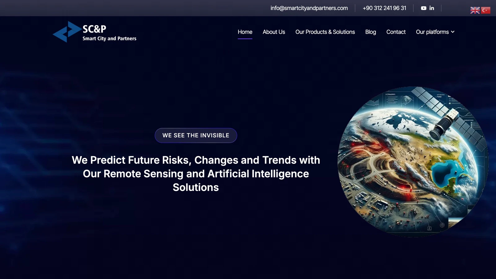
We predict future risks, changes, and trends with our Remote Sensing and Artificial Intelligence Solutions.
About EyeOnBlue Expand
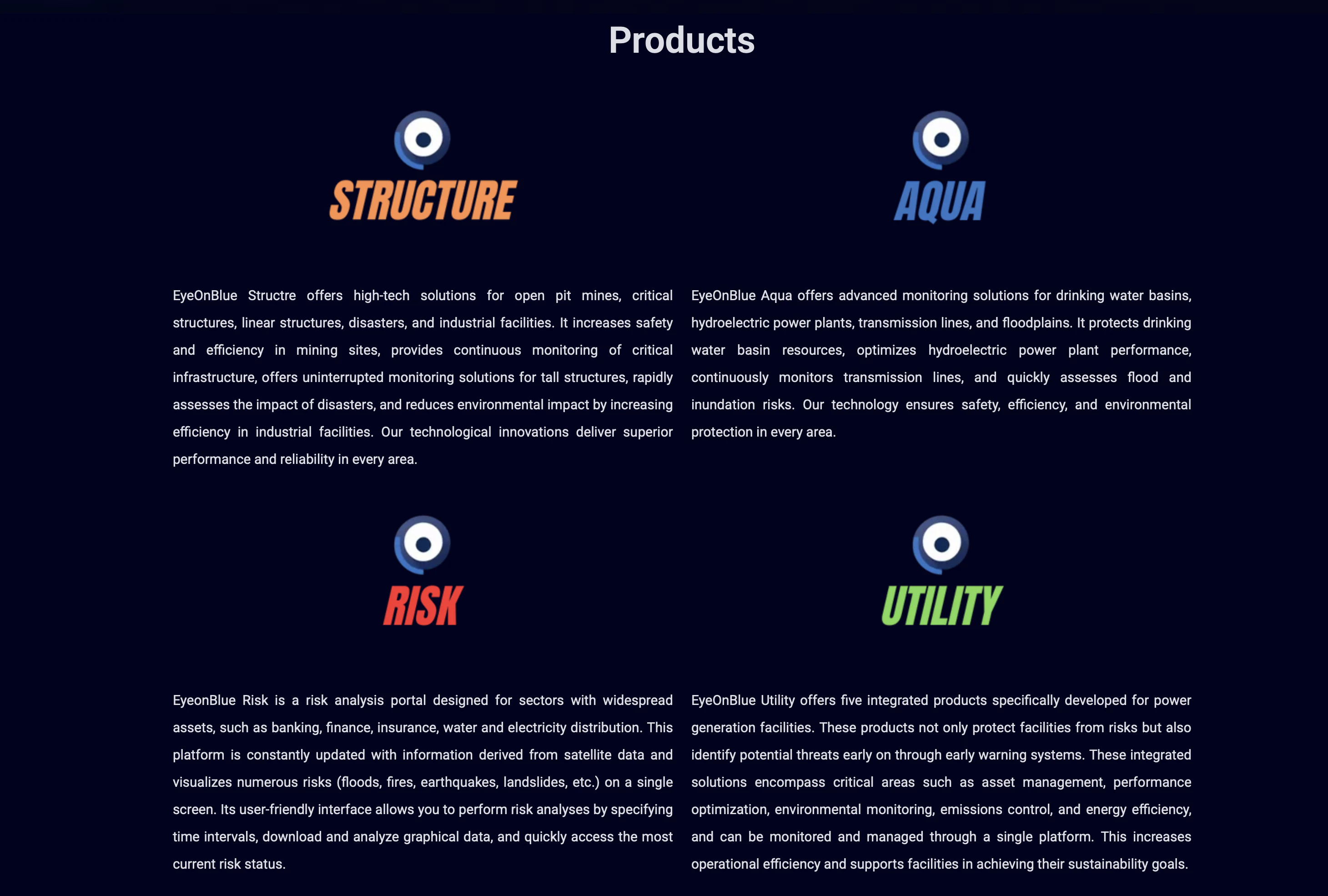
EyeOnBlue, by Smart City & Partners, offers advanced remote sensing and AI products to predict future risks, changes, and trends. Their platform utilizes high-resolution satellite imagery, including optical, SAR, and multispectral data, to provide precise and timely information across various sectors.
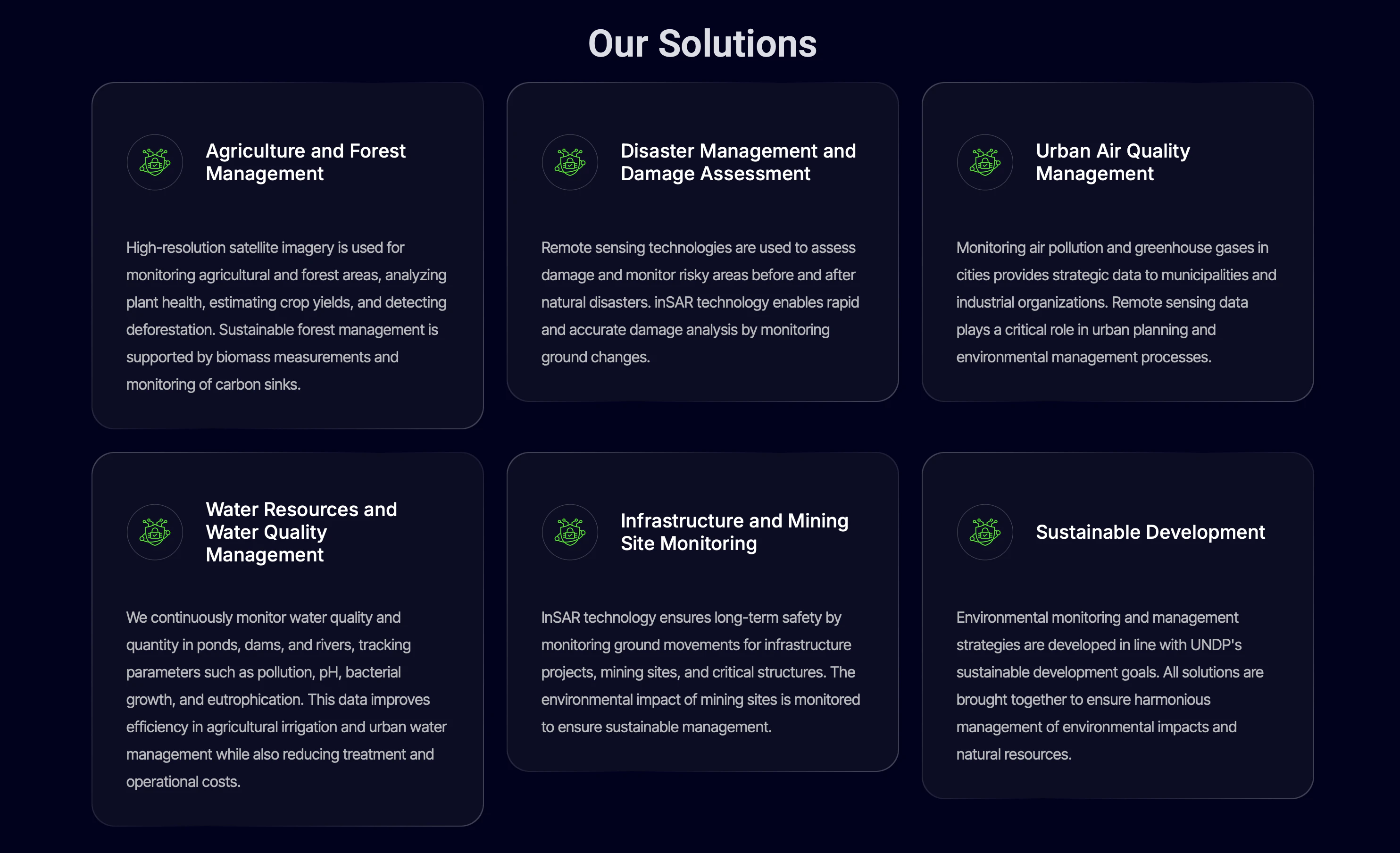
Key services include disaster prediction, monitoring, and damage assessment for events like earthquakes, floods, and fires, as well as continuous monitoring of water quality and levels in lakes, dams, and rivers. They also focus on environmental monitoring, tracking air pollution and greenhouse gases to aid city management and industrial organizations in reducing environmental risks and improving air quality.
Their expertise extends to carbon sink and biomass analysis, empowering clients with performance data for better decision-making and enhanced efficiency.