
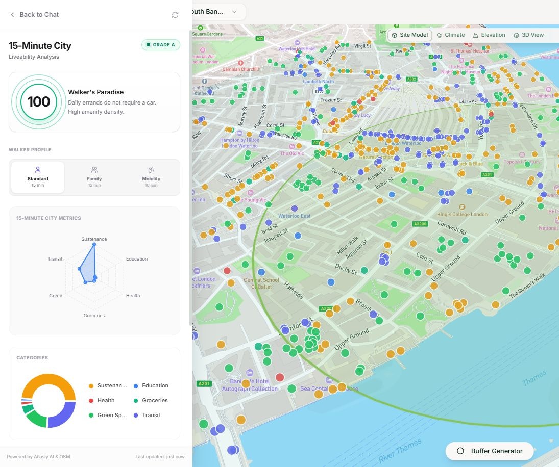

Product memo
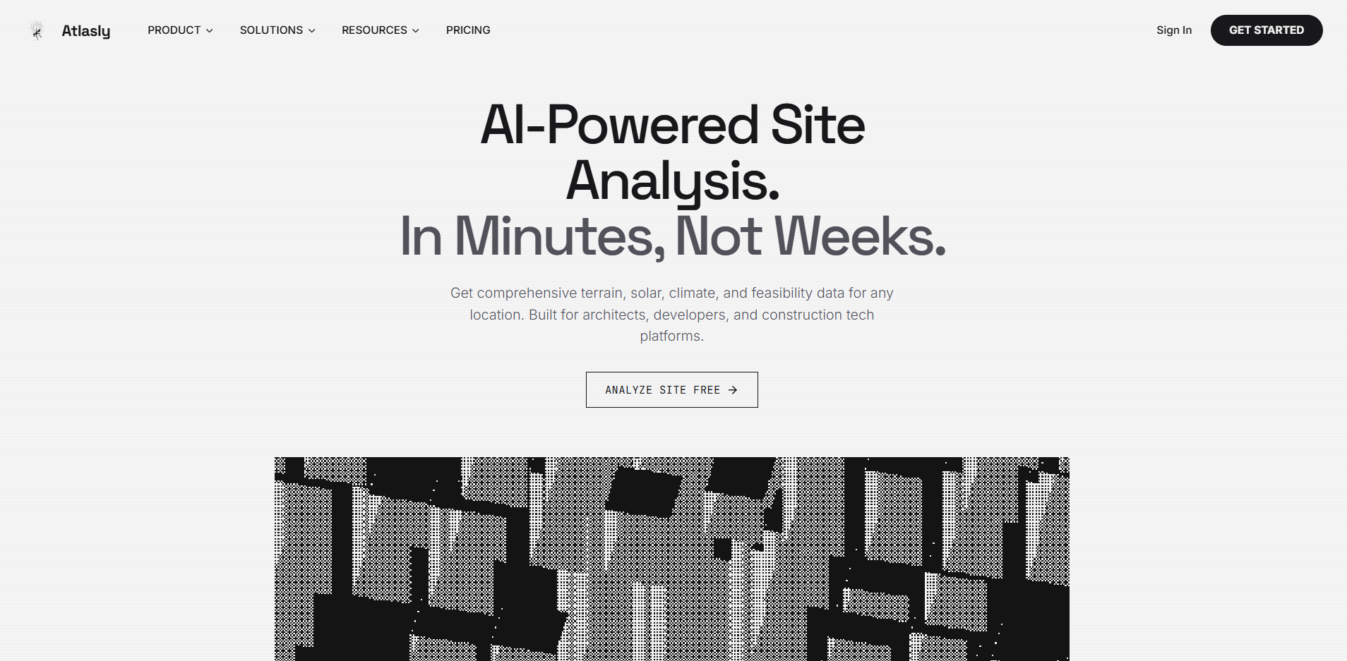
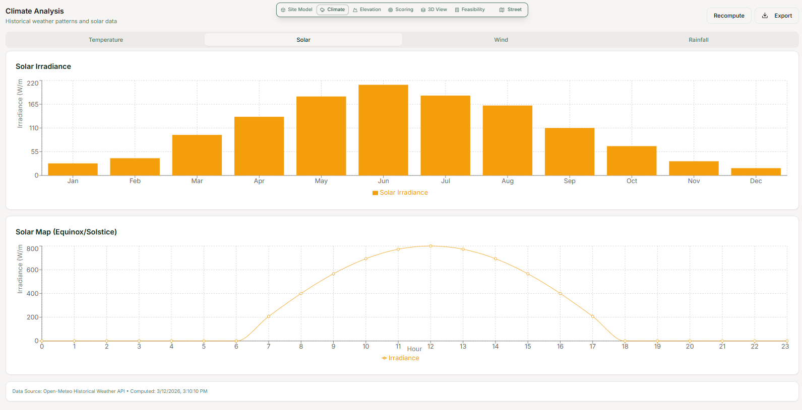
Architects, developers, and urban planners use Atlasly to automate architectural due diligence and site feasibility. It consolidates data from planning portals and environmental sources, then applies AI to analyze zoning, climate, and terrain. This delivers engineering-grade insights and reports in seconds, removing the manual research bottleneck in early-stage design.
For who
Architects, developers, and urban planners
Solves what
Automates architectural due diligence and site feasibility analysis using AI.
- AI-powered site analysis
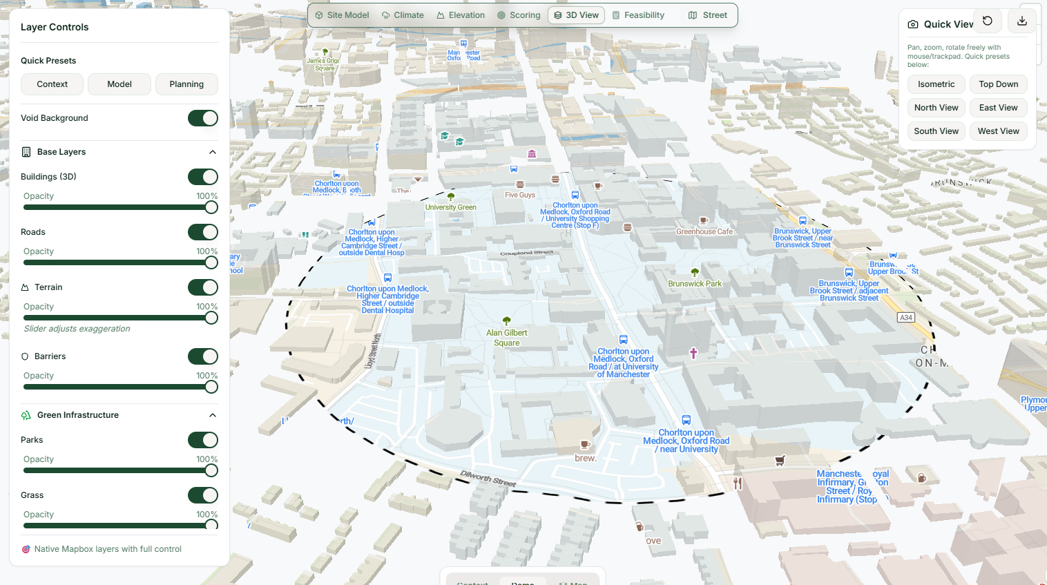
- 3D urban context modeling
- CAD/BIM export capabilities
In their own words
Every constraint, before you pick up a pencil.
Atlas AI reads planning portals, policy documents and environmental data automatically. No more manual research, no more missed constraints.
Commercial cues
Model
subscription
Free tier
Yes
Trial
No
Pricing Strategy
- • Annual billing offers a discount, reducing the monthly cost for committed users.
- • Free Starter tier lowers testing friction.
Operator context
Operating setup
Founded
Mar 2026
HQ
United Kingdom
Platform
Web app
Audience
Developers
Payments
Stripe
Social footprint
Market demand
Atlasly keyword demand
5 keywords
Market demand is Starter-tier market intelligence.
Derived from this product’s latest SimilarWeb keyword mix — directional demand, not proof.
Builder Strategy
- Strategy Type
- Niche Specialist
- Stage
- Vc Growth
- Effort
- Small Team
About Atlasly Expand
Atlasly provides architects, developers, and urban planners with an AI-powered platform for site analysis. It automates complex due diligence by consolidating data from planning portals and environmental sources, then applies artificial intelligence to analyze zoning, climate, and terrain.
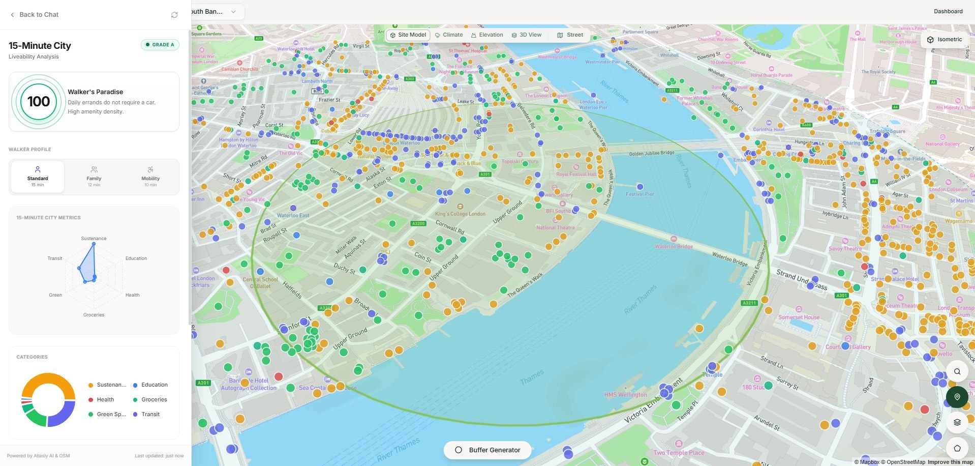
This approach delivers engineering-grade insights and reports rapidly, directly addressing the manual research bottleneck in early-stage design. The platform includes features like 3D urban context modeling, CAD/BIM export, and 15-Minute City analysis, serving as a specialist tool for professionals needing to understand every constraint before design begins.